


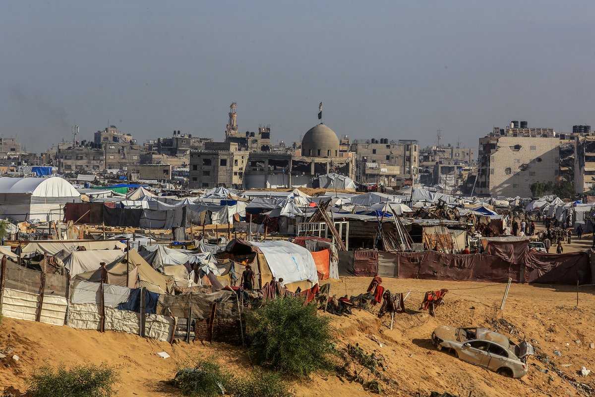

![Displaced Palestinian families living in makeshift tents near the city of Rafah in the southern Gaza Strip face increasingly dire living conditions due to adverse weather and inadequate shelter, on November 17, 2025. [Abed Rahim Khatib - Anadolu Agency]](https://www.middleeastmonitor.com/wp-content/uploads/2025/11/AA-20251118-39735637-39735624-DISPLACED_PALESTINIAN_FAMILIES_IN_GAZA_STRUGGLE_WITH_ADVERSE_WEATHER_CONDITIONS.jpg)
Satellite images analysed by Forensic Architecture and the Drop Site platform show that Israel is systematically razing a strategic area in the city of Rafah, southern Gaza Strip. The work involves levelling and compacting the ground and removing rubble, in a pattern that suggests preparation for new residential infrastructure. The findings indicate that this area could be used to house Palestinians and effectively contain them in an area under full Israeli military control. Analysis of the satellite images shows that this pattern of activity—clearing the land, compacting soil, and removing rubble—does not appear at this scale in any other area east of the yellow line, despite widespread destruction affecting more than 53 per cent of Gaza east of this line […]

